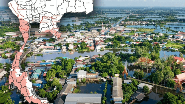



The Central region has been the hardest hit by flooding between September 28 and October 4, with Nakhon Sawan’s rice paddies among the worst affected, according to the Geo-Informatics and Space Technology Development Agency (GISTDA).
GISTDA said on October 7 that analysis of satellite imagery showed flooding in 45 provinces nationwide, covering more than 5.12 million rai.
The Central region accounted for more than 4.09 million rai of flooded areas across 22 provinces, directly affecting the livelihoods of more than 1.58 million people and more than 21,800 households, it said.
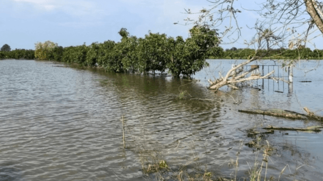
Agricultural areas, particularly rice paddies, have also been badly affected. Flooding was reported in rice-growing areas across 21 Central provinces, with a total of 621,590 rai of rice fields affected.
Of these, 77,420 rai involved rice in the seedling stage, 177,160 rai in the tillering stage, 167,220 rai at the heading stage and 199,790 rai awaiting harvest, leaving the crops at risk of damage.
Nakhon Sawan recorded the largest area of affected rice fields, followed by Phra Nakhon Si Ayutthaya, Suphan Buri and Phichit.

GISTDA said satellite and geospatial technologies have enabled authorities to obtain an overview of flooded areas and assess damage to agricultural land and homes.
The agency said it is continuing to monitor the situation and plan satellite data collection to provide updated analysis, while supporting relevant agencies with information to help them manage risks and distribute assistance to flood victims quickly and effectively.