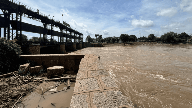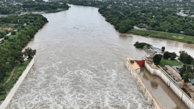



The Royal Irrigation Department (RID) has increased the water discharge rate of water through the Chao Phraya Dam to 2,200m3/s, issuing a flood warning to 11 downstream provinces as residents in low-lying areas begin evacuating to higher ground.
This morning, Irrigation Office 12 alerted authorities and residents in Uthai Thani, Chai Nat, Sing Buri, Lop Buri, Suphan Buri, Ang Thong, Ayutthaya, Pathum Thani, Nonthaburi, Bangkok and Samut Prakan to prepare for water levels to rise by 20 to 60 centimetres over the next 24 hours.
The decision to step up the discharge from 2,000 to 2,200m3/s comes as northern run-off and local rainfall continue to fill the reservoir.
Officials said the stepped-up discharge is aimed at relieving upstream communities currently suffering from river overflows.
At the main measuring station C2 in Mueang district of Nakhon Sawan, northern run-off flowing into the reservoir reached 2,182m3/s this morning.
Over the past 24 hours, the water level upstream, of the dam rose 10cm to 17.67 metres above mean sea level (MSL), while the downstream level rose 14cm to 14.81 metres above MSL.
In Chai Nat’s Sapphaya district, located directly downstream from the dam, residents in Taluok and Hat Asa sub-districts have begun moving household items, bedding and cooking equipment to temporary shelters along the elevated ridge of the Maharaj Canal road.
Locals have expressed concern over incoming northern flows and forecast early-October rains, particularly for households situated outside the flood embankments.
Flooding in Chai Nat has already inundated the districts of Manorom, Mueang Chai Nat, Sapphaya, Wat Sing and Hankha, affecting 22 sub-districts, 581 households and 1,652 residents, alongside damaging 20 hectares of farmland.
The RID advises all riverside residents to move valuables to higher ground and to monitor official announcements closely.