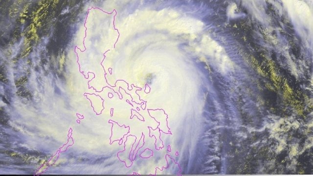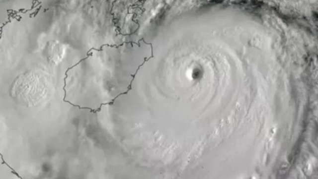



The National Disaster Warning Centre has set up a ‘war room’, with the Department of Public Disaster Prevention and Mitigation, the Royal Irrigation Department, the Water Resources Department and the Department of Mineral Resources, to monitor the typhoon and to provide timely advice to the public.
Dr. Seree Suparatit, director of the Centre for Climate Change and Disasters at Rangsit University, said in his Facebook post this morning that Kajiki has intensified into Level 3 typhoon and is more powerful than Typhoon Wipha, which impacted northern Thailand in July.
According to the National Hurricane Centre of the United States, the average wind speed of Typhoon Kajiki at its centre, as of 8pm last night, was estimated at 195kph which qualifies as a Level 3 typhoon.
Dr. Seree predicts very heavy rainfall in Nan, Phayao, Chiang Rai, Chiang Mai and Lampang provinces. Nan province can expect flooding because, he said, there is a 10% chance that rainfall there may reach 500mm.
The Meteorological Department, meanwhile, reports that, at about 4am today, Typhoon Kajiki was located about 200km to the southeast of Vinh in northern Vietnam, with maximum wind speed at its centre estimated at 150kph.
Moving at a speed of 20kph, the typhoon is expected to make landfall in northern Vietnam this afternoon and weaken into a tropical storm. It will continue to weaken into a depression storm, as it reaches Laos, and into a low pressure cell when it enters Nan province tomorrow evening.
Northeastern and northern provinces in the path of the storm, such as Bung Kan, Nong Khai, Nakhon Phanom, Sakhon Nakhon, Udon Thani, Nong Bua Lamphu, Loei, Uttaradit, Nan Phayao, Chiang Rai, Chiang Mai, Lampang, Lamphun and Mae Hong Son, will experience heavy to very heavy rainfall today and tomorrow.