


Air pollution in Bangkok increased on January 28, with average PM2.5 levels reaching 55.6 µg/m³, due to air stagnation compounded by extensive agricultural burning and forest fires in neighbouring provinces.
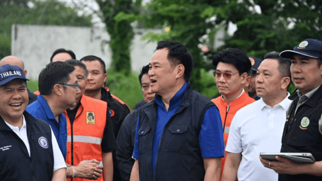
Bangkok Governor Chadchart Sittipunt said in a Facebook livestream yesterday that a massive pall of smoke covering about 1,700 square kilometres in a neighbouring province, which he declined to name, has been drifting towards Bangkok since late last night.
He said that, compounded by a slow northeasterly air current, PM2.5 levels in Bangkok are expected to rise today, with eastern suburbs such as Nong Chok, Min Buri, Lat Krabang and Klong Sam Wa likely to be affected first.
The governor predicted, however, that pollution levels should ease somewhat this afternoon as air circulation improves.
He urged Bangkok residents to protect their health by avoiding outdoor activities or exercise and wearing face masks when outdoors.
Meanwhile, the city administration’s Air Quality Information Centre reported today that PM2.5 levels across Bangkok exceeded 37.5 µg/m³, with four districts classified in the “Red” category.
The centre listed 12 districts with the highest levels of PM2.5 today. They are:
1. Nong Chok, 80.8µg/m³.
2. Min Buri, 77.3µg/m³.
3. Klong Sam Wa, 76.5µg/m³.
4. Kanna Yao, 76.1µg/m³.
5. Prawet, 71.7µg/m³.
6. Sai Mai, 70.7µg/m³.
7. Lat Krabang, 69.2µg/m³.
8. Queen Sirikit’s 60th anniversary park in Lat Krabang, 68µg/m³.
9. Seri Thai park in Boeng Kum, 66.9µg/m³.
10. Nong Chok park in Nong Chok, 66.5µg/m³.
11. Bueng Kum, 65.9µg/m³.
12. Saphan Sung, 63.6µg/m³.