Red flags fly in Chai Nat to warn riverside residents of impending overflows
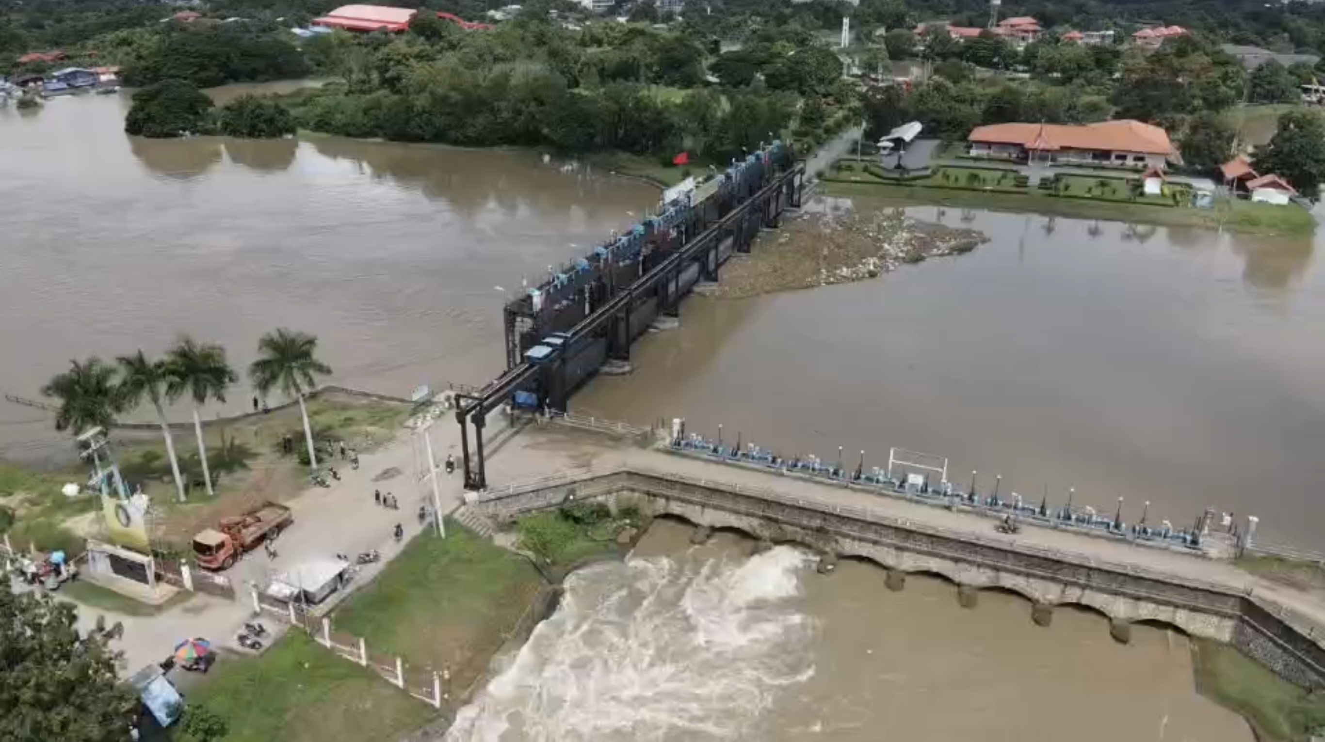
Red flags are being flown in Chai Nat province to warn people living along the Chao Phraya River to prepare evacuation, as the water level in the river exceeded the height of its banks by 83cm this morning (Sunday).
Overflows from the river have already flooded many areas in Muang, Wat Sing and Manorom districts, which are located upstream of the Chao Phraya Dam.
Runoff from the northern region is flowing into the reservoir at a rate of 3,094m3/sec, compared to a discharge rate of 3,058m3/sec through the dam.
Irrigation officials said that it is necessary to increase the rate of the discharge to maintain a safe volume of water in the reservoir.
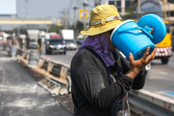
More than 1,500 families in the flood-affected areas have now taken temporary refuge on various roadsides, particularly along the Maharaj Canal irrigation road. Many of them areurging the authorities to speed up the draining of water from the Chao Phraya River into water retention areas, to ease flooding in their communities, saying that they are suffering hardships because they are unable to stay at home and do not know when flood water will recede.
In Pak Kret district of Nonthaburi province, people living along the river have been advised to brace for a rising water level in the river, due to high tides over the next 5 days.
The water level, which was measured at 1.90-2.20 metres above mean sea level today, is predicted to increase by a further 15-30 cm during the high tides.
The mayor of Pak Kret municipality, Wichai Bandasak, has offered an assurance that they have already reinforced the flood wall with sand bags and drained water out of several canals, to increase their capacity to accommodate river overflows.
Manpower and water pumps have been put on standby around the clock to help affected people, he said.
Pak Kret, Muang and Bang Yai districts have been declared flood disaster zones.